
The drainage network located in the territory of the Segura demarcation is formed by the Segura river, as the only main river and the set of its tributaries, together with the large river dividers and its main peaks. The rest of the channels are ephemeral boulevards direct to the sea with a very irregular hydrological response conditioned by the downpours on their watersheds.
The main generation of water resources is concentrated in the head of the basin (Segura and Mundo rivers until their confluence). Downstream from this confluence, the channels on the left bank are, in general, boulevards without permanent contributions and with a marked torrential character (boulevards of the Jew, Moro, etc.); while those on the right bank are, in general, permanent rivers (Moratalla, Argos, Quípar, Mula, Guadalentín) with meager flows.
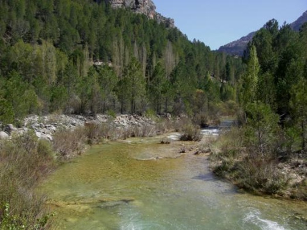
Río Segura antes de Anchuricas
The following shows the map of the hydrographic network of the Segura river basin district, formed by the main river (Segura river) and the set of its main tributaries (Río Mundo, Alhárabe River, Argos River, Quípar River, Mula River, Rio Guadalentín and Río Chícamo), in addition to the Ramblas del Judío, del Moro and Albujón.
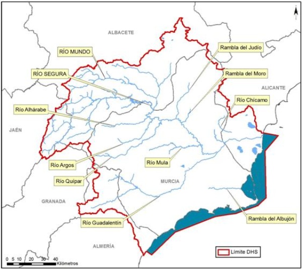
Red hidrográfica de la demarcación hidrográfica del Segura
Source: Hydrological Plan of the Segura Demarcation 2015-2021


