
LThe Segura Hydrographic Confederation has completed in 2011 the collection of aerial orthophotos from the photogrammetric flight carried out by the American army in 1956 and 1957, known as the American Flight of series B.
WMTS service access address: https://www.chsegura.es/wmts/usaf56?
With this work, which covers a million hectares, the coverage of images of the American flight in the area of the Segura Basin and in the irrigated areas of the Júcar Basin that are watered with Segura waters is completed.
The Autonomous Communities Region of Murcia and Andalusia have carried out similar work in their geographical area in previous years, in addition to the orthophotos prepared by the Segura Conferederation to obtain continuous coverage.
Internet publishing
WMTS Service: Orthophotos are published on the Internet under the standard Web Map Tile Service (WMTS), for free use without the need for downloading in a Geographic Information System. The connection address is as follows:
- Connection to the USAF56 orthophoto layer offered by the CHS:
https://www.chsegura.es/wmts/usaf56?
(It must be taken into account that they are cartographic services and cannot be accessed from a conventional browser, they must be used from a WMTS browser that supports this type of connection.)
Technical characteristics of USAF56 orthophotos
- Flight made in 1956 and 1957.
- Black and white orthophotos.
- Geometric resolution of 1 meter per pixel.
- Proven accuracy of 1 meter (Quadratic Error) in X and Y.
- ETRS89 coordinate reference system, spindle 30 (EPSG code: 25830).
- Scale of flight 1: 31,500, flight height 5,500 meters, in passes east-west.
More technical information
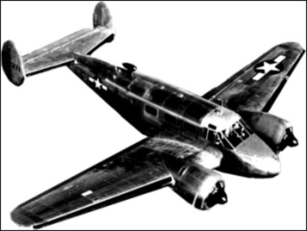
Avión Beechcraft RC-45F utilizado para la realización de los vuelos fotogramétricos
Interest of images
In addition to the intrinsic value of the historical images, the aerial photographs obtained in 1956 and 1957 provide very valuable information for the Hydrographic Confederation, since they represent the state of the infrastructures, constructions, hydrography, soil and vegetation, at a time of great changes in the territory. It represents a still photo of the situation of irrigation after the publication of the transcendent Irrigation Management Decree of April 25, 1953, regulations that continue to be a fundamental tool in the management of irrigation in the Segura basin.
The images are also of great interest for all kinds of historical, urban, geological or environmental studies.


