

![]()
![]()
Última actualización: 09/08/2017
Due to their lineal and continuous structure, rivers and their banks are first class green infrastructures from both a biological and environmental point of view because they contain pockets of biodiversity and connect ecosystems, habitats and species. Therefore, encouraging their development is essential for maintaining a sustainable environment and helping species adapt while mitigating the effects of climate change.
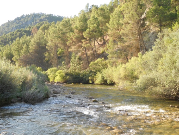
Segura River in Cañaverosa
The Segura River, the backbone of the Segura Hydrographic Basin, has its source in Pontones (Jaén). The river runs for 352 km before discharging into the sea at Guardamar del Segura (Alicante). Its location in the Mediterranean region, characterised by major weather contrasts, and its uneven topography and complex geological history, have resulted in the wide variety of ecosystems that make the Segura River one of the most diverse rivers in the Iberian Peninsula. It is home to several species of fish that are endemic to the Iberian Peninsula, a wealth of associated fauna and unique riparian vegetation that accompanies the river with a mosaic of environments and communities.
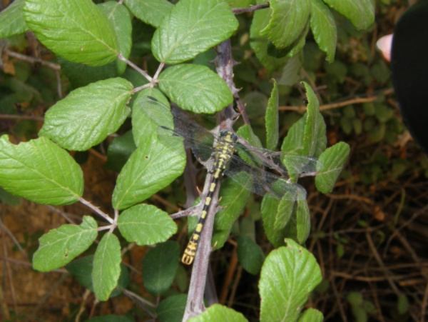
Dragonfly(Onychogomphus uncatus). Author: ANSE.
Long periods of drought and repeated floods have defined the history of the land that forms the Segura River basin. These special characteristics of the basin have led to the water being considered a valuable asset, which has meant that people have tried to control its flow for centuries in order to benefit from it. Many river obstacles were built along the length of the river, making the Segura River one of the most regulated rivers in Europe.
The most immediate environmental impact of irrigation and hydroelectric generation systems is the result of their dams and weirs, which prevent or limit the migratory movements of fish that need to swim upstream to reproduce. This circumstance is known as the ‘barrier effect’ and has led to many species disappearing or becoming seriously endangered. The solutions for fish migration include the elimination of the obstacle or the construction of a supplementary structure that aids access: a fishway (commonly known as a “fish ladder”).
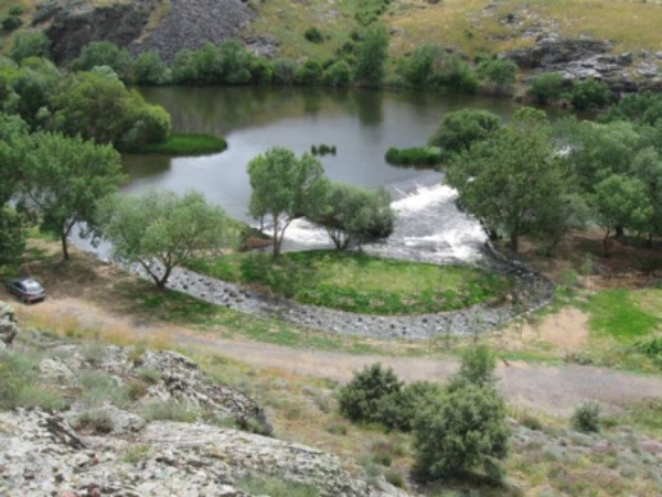
Artificial river. Author: ITAGRA
The main objective of the Water Framework Directive (2000/60/EC) that came into force in 2000 was to protect, improve and regenerate all bodies of surface water with the aim of reaching a good ecological status by 2015. In this context, recovering the longitudinal continuity of rivers is key for ensuring the environmental targets imposed by said directive are reached.
Harmonising the management of all these assets –ensuring the best use of the river and the environment- is an obligatory challenge for land development. Embracing this idea, based on respecting and recovering the structure and function of rivers and integrating them into existing policies for rural development and river use, the concept of social participation arises. The objective cannot be achieved without involving the public and, in particular, the owners of the land along the river. In this situation, the main objective of Land Stewardship is to encourage the conservation of the natural and cultural heritage of our rivers and their landscape, while involving the landowners in the management and recovery of our rivers.
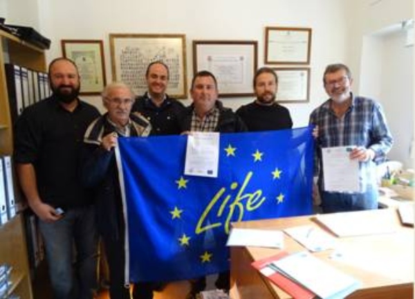
First custody agreement SEGURA RIVERLINK project


