
What is Montañas del Segura?
It is a project promoted by the Segura Hydrographic Confederation in which we are going to present the mountains of the basin in order to get to know them the best way to do it: kicking trails, clinging to the rocks and looking at them from their highest peaks.
The author is José Antonio Pastor González, a professor in the Department of Mathematics at the University of Murcia and in love with the mountains of southern Spain, specifically those of the Segura basin.
Fierce canyons of the Zumeta River, a tributary on the right bank of the Segura
Why the mountains?
The Segura River, our river, is not only that narrow band that makes up the channel and the surrounding orchards and meadows. Of course not. The Segura is an important river - the third of the great peninsular rivers that flow into the Mediterranean - because it is where many other rivers, streams, boulevards and springs converge that feed, branch and extend across a vast and diverse basin. with more than 18,870 square kilometers.
The Segura cuts the Sierra de Ricote and its foothills in the Solvente
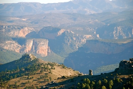
Enter the storms by Poniente - pushed from the vast Atlantic - or do it by Levante - fed by the ancient and venerable Mediterranean on the Algerian coasts - the masses of humid air that sweep the basin are suddenly an almost insurmountable obstacle. We are obviously referring to the SEGURA MOUNTAINS, a broad set of mountain ranges, almost always in a SW-NE arrangement, which include altitudes above 2000 meters and which are within the domain of the Betic mountain ranges.
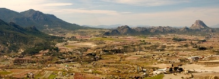
Vega alta: Cieza and Calasparra
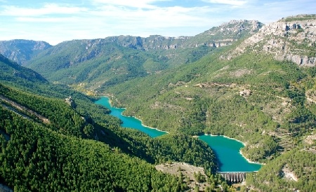
The Boards of Zumeta and Segura
These MOUNTAINS of the SEGURA are not known as such. But we wanted to call them this way for a decisive reason: in them we recognize the origin of our river.
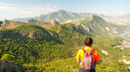
And it is that if we see the Segura basin as a huge glass or bowl - worth the redundancy - that contains all its waters, it turns out that the SEGURA MOUNTAINS make up most of the walls of the container and every drop that falls to one side of them remains within it, safely, either at surface level, or forming part of the groundwater in the extensive aquifers - which are the guts - of the mountains and mountains.
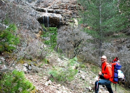
Creek in the Calar del Mundo in the Well of the Pump
The Alhárabe is sandwiched between the Sierras de los Álamo and La Muela
Moreover, the MOUNTAINS of the SEGURA, in addition to constituting the walls that conserve and store the water, are also part of the gear, of the machine that feeds our beloved Segura with flows. The industry kicks in when humid air masses literally crash into these mountains - huge natural barriers - forcing them to gain meters by crawling up the slopes of pine trees and challenging boulders.
First reservoir in the basin: Anchuricas. The reason for the name is clear
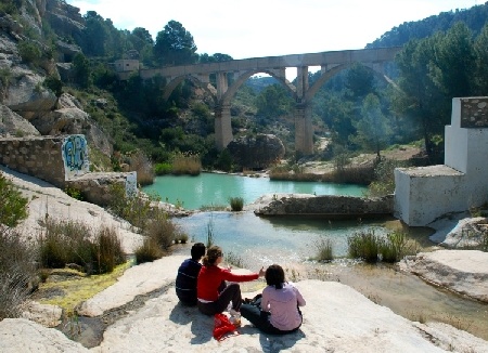
Rambla de Perea and Taibilla infrastructures
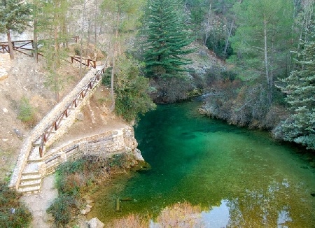
On its winding path to the heights, the humid air cools and condenses until it falls as rain and snow. This precipitation, in turn and in the best of cases, is retained in the guts of the mountains thanks to the generous vegetation stopping surface runoff and favoring infiltration into the subsoil. The MOUNTAINS of SEGURA are like a huge alembic that distills and stores in its entrails the essence of life: water.
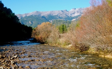
El Segura near La Graya with Calar de la Sima in the background
And what is the next step in this process? For it is the same MOUNTAINS of the SEGURA which, once they have collected the infiltrated water - water that laboriously moves through the pores and interstices of the rocks between limestone labyrinths and deep chasms - gently release it, feeding springs, springs, fountains and gushings to always keep adding and making a river.
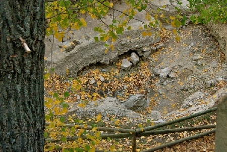
The birth of Segura, mute
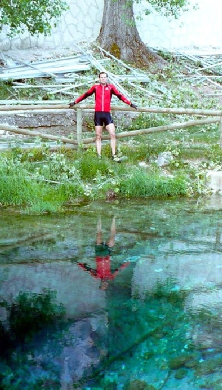
The birth of Segura, now yes
The circle, as we all well know, closes in the sea. In the sea and in the skies, when, pushed by the sun, the water evaporates again and again enters the random circuits of the atmosphere to feed the storms and return to the mountains, to the MOUNTAINS of the SEGURA.
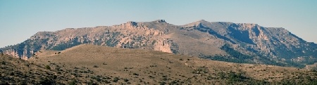
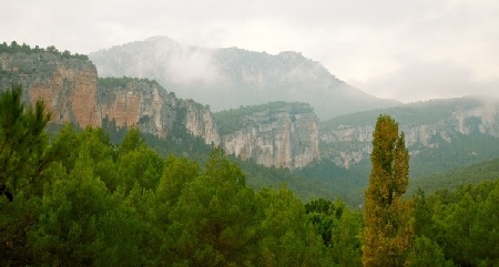
The Calar de la Sima, one of the most impressive in the head
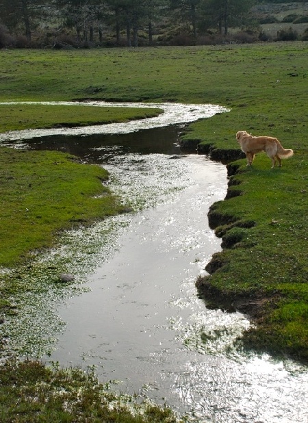
In spring it is common for all the headwaters to carry water


