
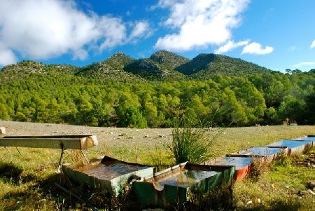
Contrary to simplistic visions that conceive the Segura basin as a semi-arid and homogeneous territory - a secarral that some would say - there is actually a very rich geographic and climatic diversity that gives rise to very different environments from each other and that provide the basin with a variety landscapes worthy of being known and protected, among which the mountain environments stand out, among others.
Territorial structure
The Segura basin includes the territory of the hydrographic basins that discharge the Mediterranean Sea between the mouth of the Almanzora river, in the province of Almería, and the left bank of the Gola del Segura, at its mouth in the province of Alicante. In addition, the Rambla de Canales - which corresponds to the Almanzora basin - and the endorheic basins of Yecla and Corral-Rubio, in neighboring Albacete, are also included.
En la altiplanicie de los Campos de Hernán Perea se recogen las primeras aguas de Fuente Segura
El relieve
The topography of the basin contains a great orographic variety in which mountains alternate with valleys, depressions and plains, steppes and mountain ranges with maximum levels greater than 2000 meters. If we study the distribution of the heights, we have that 18% is below 200 meters, 40% is less than 500 meters and 81% is below 1000 meters.
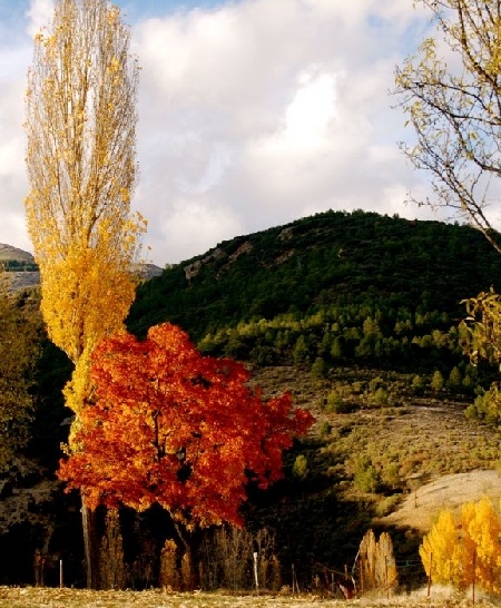
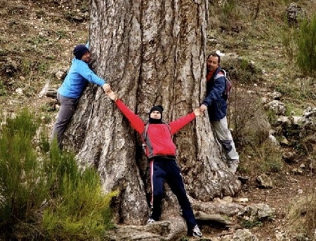
Árboles caducifolios en las montañas de cabecera
The mountains frequently exceed 1000 meters, while the highlands, with heights between 500 and 1000 meters, extend to the northeast and northwest of the basin with smooth topography. Between the mountainous alignments there are valleys, corridors and depressions that usually correspond to the river courses and these do not reach 500 meters of altitude. Precisely this compartmentalisation makes the mountain range feel as a connected system of mountains is lost and we appreciate the mountains of this area as islands that emerge from the plains. Finally, below 200 meters only smooth plains, fertile plains and orchards with priceless slopes appear.
Weather
The entire basin presents great climatic contrasts: from severe droughts to torrential rains, through floods, heat waves and catastrophic frosts. From one to another mountainous slope, from the highlands to the coastal mountains and, ultimately, from one geographical area to another, significant climatic differences are observed. Sometimes these are local variations due to topography and orientation; in others, they are global factors that affect wider spaces.
In summary, we can affirm that the factors that condition the climate of the basin - latitude, atmospheric circulation, topography, orientation, exposure, distance from the sea - combine and multiply giving rise to a rich variety and diversity of nuances both in the global of the basin as in the local specific climates or climates of each location.
Salto del Usero. Río Mula. Bullas
The spatial distribution of rainfall presents, as we anticipated in the introduction, a close correlation between relief and recorded quantities. Thus, it is the mountains located in the northwest of the basin - the head mountains - that are mostly subject to the influence of the humid air masses that bring the Atlantic storms from the polar front and in them rainfalls greater than 1000 liters are recorded. annual.
Now, although the altitude favors rainfall, the fact that the vast majority of the mountain arches are aligned from the southwest to the northeast makes it difficult for the Atlantic influences carried by the western flows to advance, so that rainfall shows a marked decrease in a diagonal from the northwest-southeast orientation with minimums on the Mediterranean coast of the order of 300 liters per year.
In terms of temperatures, these are also directly related to the aforementioned factors - latitude, altitude, orientation, distance from the sea ... - causing very diverse records. Thus, in the mountains of the headland the annual average is around 10 degrees Celsius while on the coast they reach 18.
Hydrology
The territorial scope of the basin is occupied by a single river - the Segura - and all its tributaries. The rest of the channels with direct drainage to the sea are ephemeral boulevards with very irregular contributions and directly conditioned by the downpours that fall on their watersheds.
Most of the flows are generated in the headwaters, both those that discharge into the Segura and those that drain into the Mundo River. Downstream from the confluence of these two rivers, the left bank hardly receives any contributions since the channels that drain into said margin are, generally, ramblas without permanent contributions and with heavy torrential devices.
This fact contrasts with what happens on the right bank. It drains several rivers themselves - Moratalla, Argos, Quípar, Mula, Guadalentín - with meager but permanent flows.
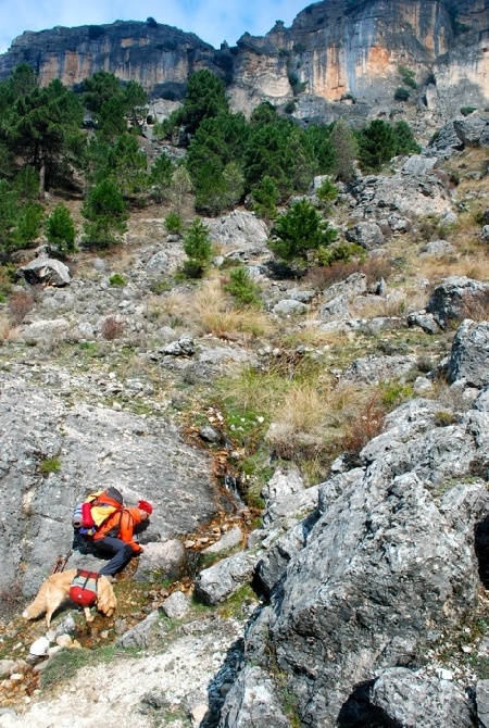
Cogiendo agua en un arroyuelo que baja del Calar del Mundo
Geology
The Segura basin is almost entirely within the geological domain of the Betic mountain ranges. Only in its northern part do we find materials belonging to the Hercinian plinth of the Plateau that are, in turn, the base of the Betic ensemble. The Betic mountain ranges, as it is well known, are of alpine origin - consequence of the push of the African plate on the Eurasian plate - and extend through Andalusia, Murcia and southern Valencia.
The Baeticas, as with most alpine ridges, have two large sets of distinctly different characteristics: the outer zones and the inner zones.
The external zones are located geographically to the north and are formed mainly by materials from the Mesozoic. These were deposited on the margin of the continental shelf to later be folded due to alpine orogeny without the rigid base (continuation of the Paleozoic materials of the Plateau) being affected by compression forces.
The internal zones, located to the south, are formed for the most part by metamorphic rocks and belong to paleogeographic domains different from those of the external zones. In addition, paleozoic materials are affected by alpine orogeny considerably.
Enormes pinos laricios que hicieron de ésta provincia marítima para los astilleros de Cartagena
Manantial bajo la cumbre del Pajarón. Sierras del Noroeste de Murcia


